Chico, live
The town as it is right now — highway cameras, fire lookouts, radar, river gauges, and the day’s incident wires, each straight from its public source. Everything refreshes itself; click any tile to expand it, ▶ live for video.
We do not guarantee reliability or accuracy of these sources — please visit the direct links to verify.
A quiet wire — nothing on the CHP logs, no closures in effect, no fires in the north valley, no outages in town.
Sources, directly: NWS — conditions at the Chico airport · AirNow / Butte County AQMD — air quality · USGS — Butte Creek gauge · DWR CDEC — Lake Oroville · PG&E — outage map · currentuvindex.com — UV (CC BY 4.0) · USGS — earthquakes
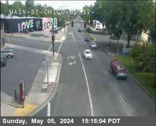 SR-32 · Main St
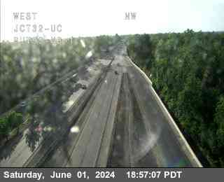 SR-99 · SR-32
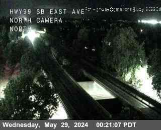 SR-99 · East Ave
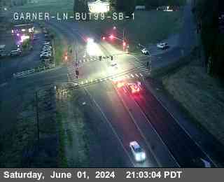 SR-99 · Garner Ln
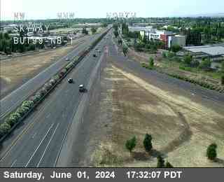 SR-99 · Skyway
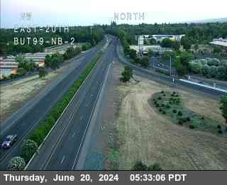 SR-99 · E 20th St
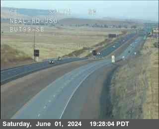 SR-99 · Neal Rd
Cameras: Caltrans District 3. ▶ live opens the camera’s own video stream; click a tile to expand it.
- Nothing on the Chico-area logs right now — quiet roads.
- SR-99 South“BUZZED DRIVING IS DRUNK DRIVING” (Chico)
- SR-99 South“MINUTES TO: OROVILLE 12 70 MRYSVL 37” (Chico)
- No lane or road closures on the state routes in Butte County.
 Cohasset Hill
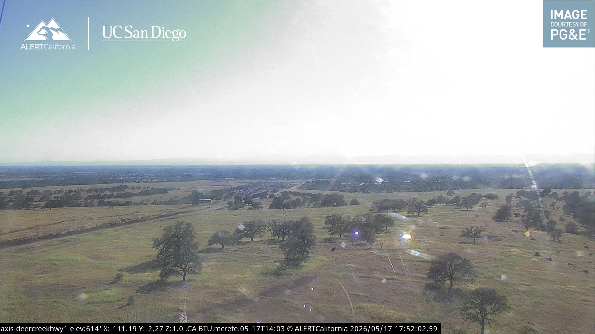 Deer Creek
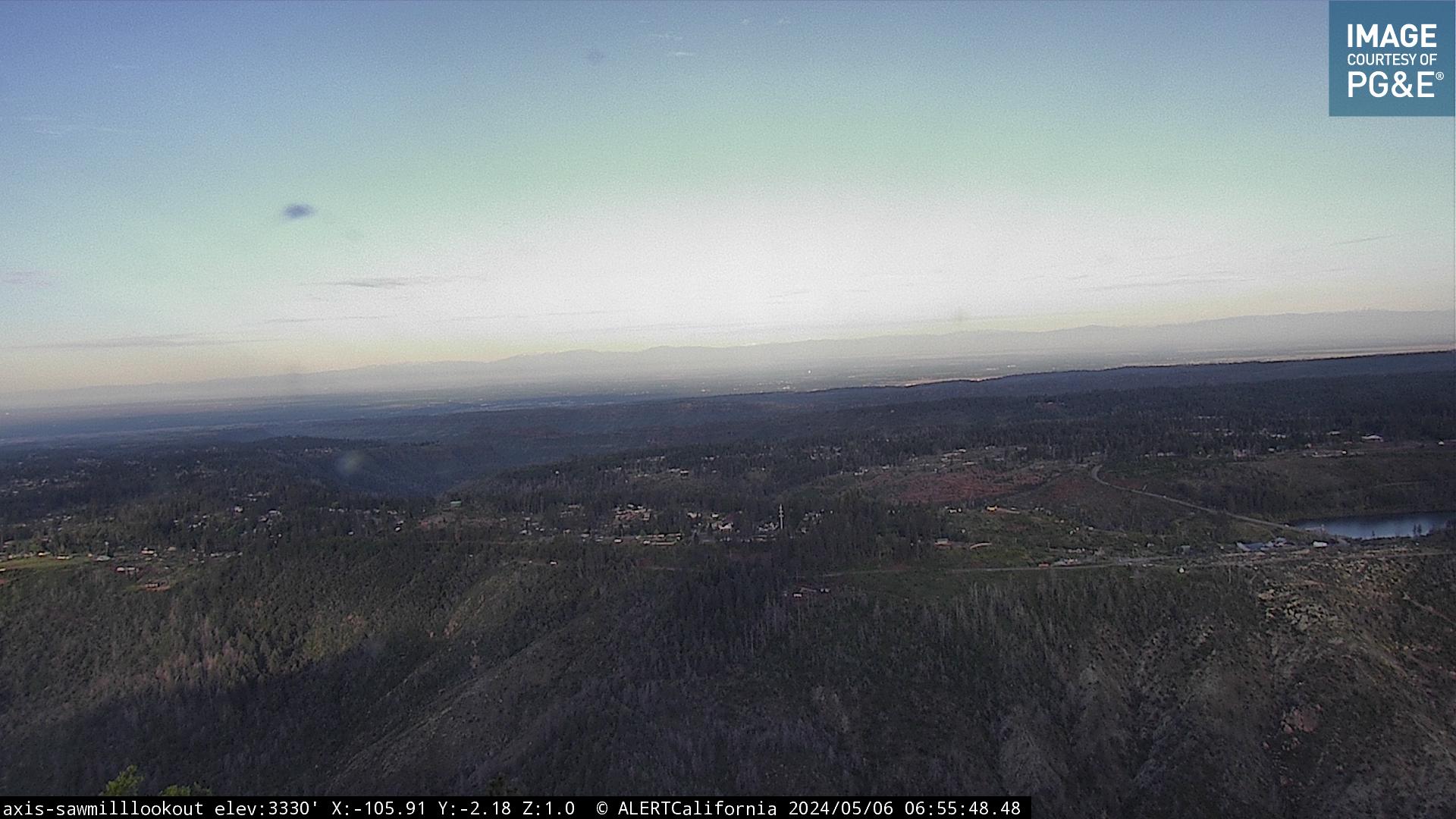 Sawmill Peak
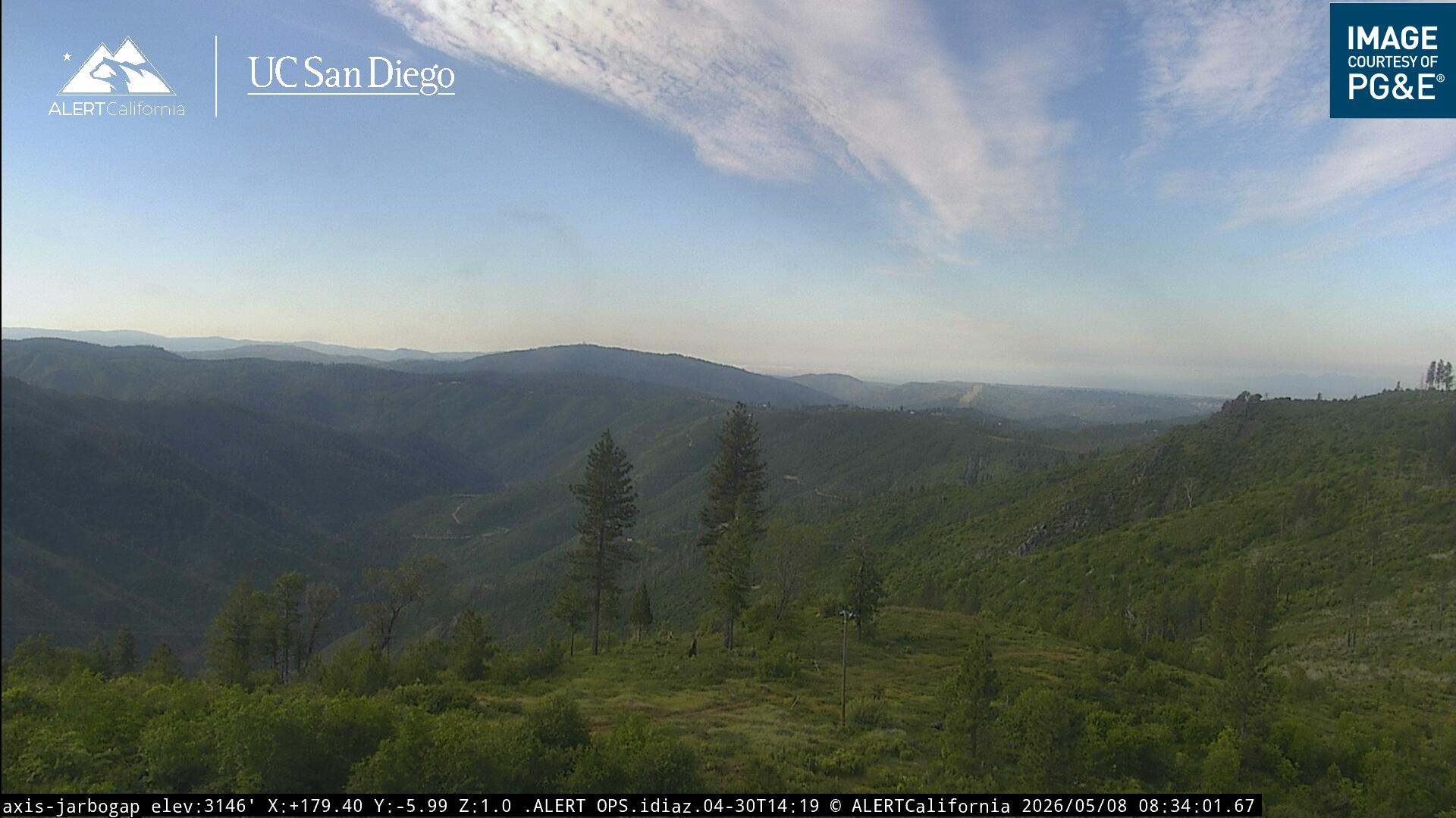 Jarbo Gap
Cameras: ALERTCalifornia | UC San Diego — the state’s wildfire lookout network. Views pan during incidents.
- No active CAL FIRE incidents in the northern Sacramento Valley — 9 burning elsewhere in the state.
- Butte County Fire / CAL FIRE — county fire dispatch — the flagship feed, running since 2009
- Chico Fire — city fire dispatch, year-round
- CHP Chico — highway patrol dispatch — the only law audio left for Chico
- NOAA Weather Radio — KEC57 — continuous forecast for the north valley
Chico PD and the Sheriff’s Office encrypted their dispatch in 2024 — police radio is gone from the public air, permanently. Fire, CHP, and weather are what remain. Broadcastify’s terms don’t allow the audio to be embedded in the page, so ▶ opens its own small pop-out player — the site stays put.
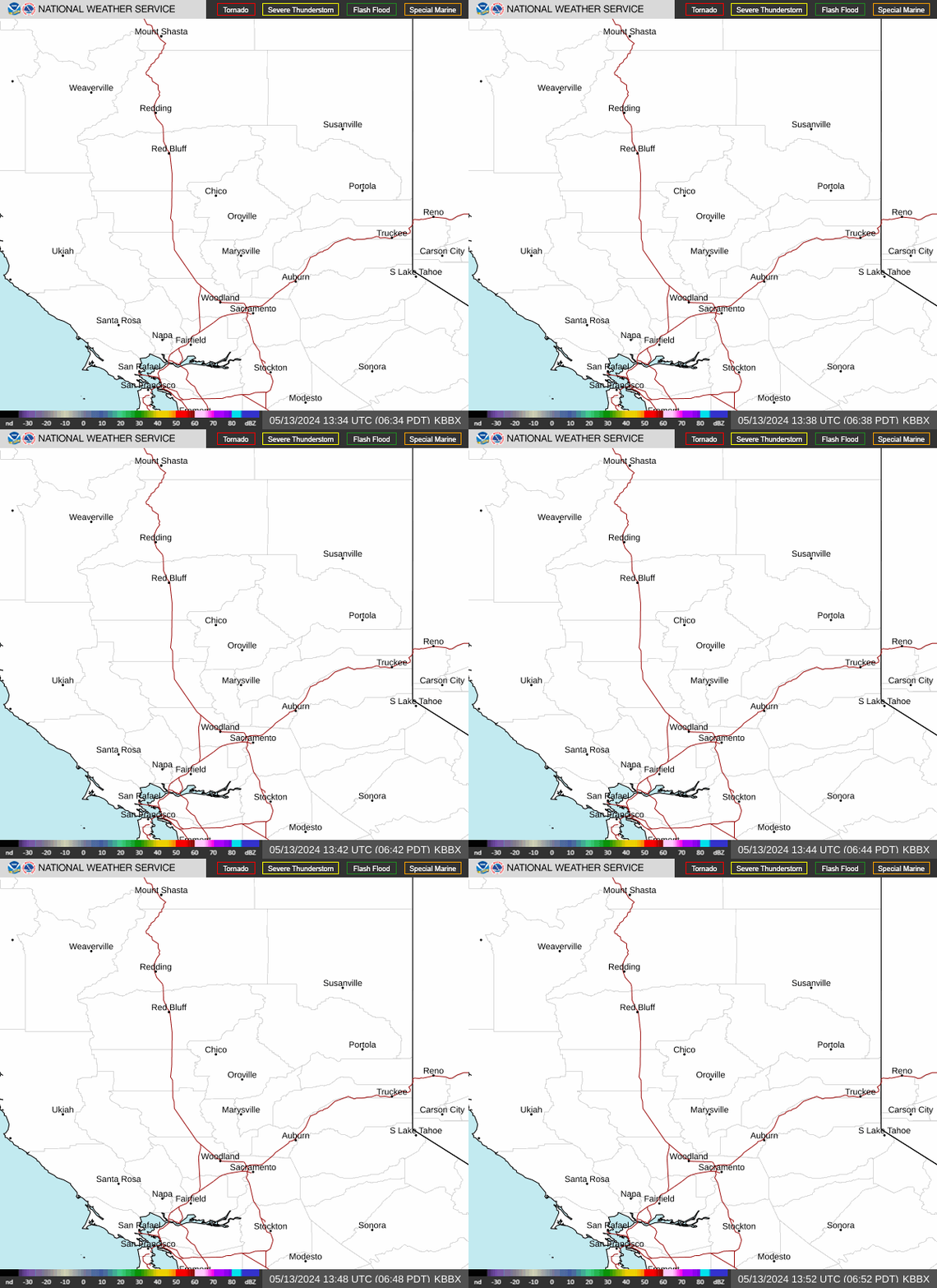

The numbers on the map are route numbers. Next bus at your stop by text: send the stop number to 530-924-5354.

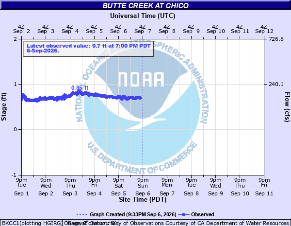
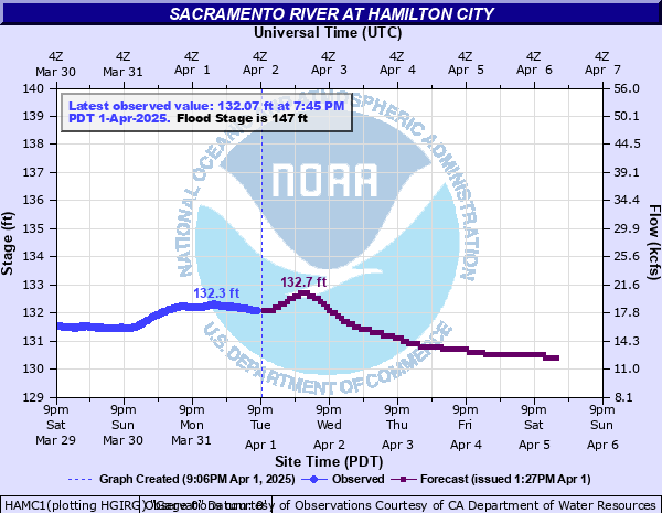
Click a chart to enlarge it; the forecast trace appears when the river forecast center issues one.
No Coast Starlight currently tracking toward Chico.
The Air Attack Base webcam at the airport doesn’t permit embedding; it opens on YouTube.
One camera serves the council and every commission — live only while a meeting is in session. Agendas and the schedule live on the city’s meeting portal; school board meetings stream on CUSD’s YouTube.
PurpleAir sensor map · Windy radar · PG&E outage map · B-Line bus tracker · Amtrak live map · our own map, with the live layer on →